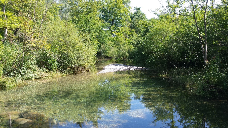
Centuries of water management and canalisation lead to fundamental changes of the characteristics of the River Rhine. As a result, former floodplains fell dry, and meanders and tributaries have been cut off from the main stream. In 2005 gaps were installed into the dam of the canalised main river and into dams of main side channels. The measures were meant to re-dynamise hydro-ecological processes in the Rhine’s former riparian area. In order to simulate natural flooding, dam heights at the gaps were reduced corresponding to seasonal high water levels of the Rhine main stream.
The recent study aims on identification of the effects of the hydrological processes induced by the measures. Based on water level data concerning the River Rhine and adjacent channels as well as data of the connected ground water levels, we strive for reconstructions of the water flows that proceeded in the area of concern since the revitalization measures started. The reconstructions serve as a reference in order to explore potential effects of the measures induced. We use digital elevation models (DEM) derived at different time steps in order to identify geomorphological modifications and changes of flow directions. Based on such information, the degree of habitat modifications and their consequences for the biota will be estimated. The pilot study is conducted on behalf of the Regional Administrative Agency Freiburg, Germany, the administrative authority in charge of nature conservation of the Upper Rhine.


